Flood threat shifts north across Florida as St Johns River exceeds record
Flooding and water rescues have spread north along Florida’s Atlantic coast, with warnings covering about 320 kilometres and the St Johns River expected to remain well above flood stage into next week.
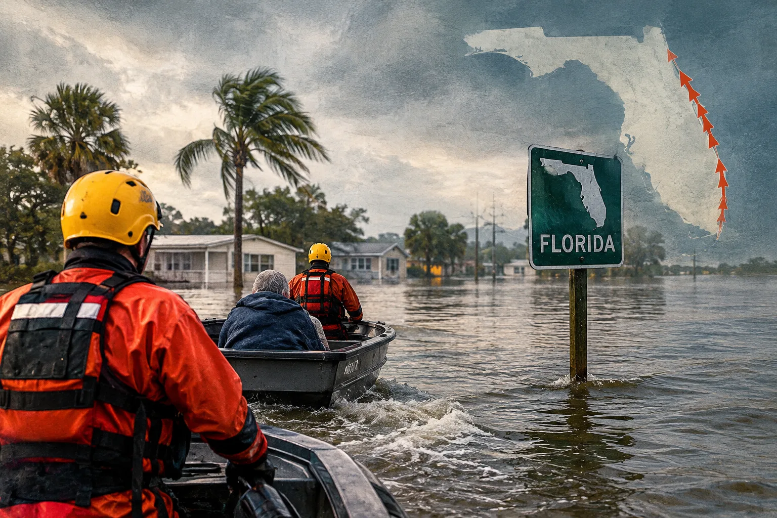
Heavy rain has flooded parts of Florida’s Atlantic coast, prompting dozens of rescues, as the threat shifts north and forecasters warn of further downpours and river flooding into next week.
Flood warnings and watches stretch about 320 kilometres from south of Melbourne to the Jacksonville area. The National Weather Service expects another 5 to 15 centimetres of rain through Saturday, with some places potentially receiving 20 to 25 centimetres.
“Severe, widespread flash flooding is expected,” the weather service said in a Friday morning forecast, warning that areas not usually prone to flash floods could also be inundated and that lives and property were in great danger.
The St Johns River, Florida’s longest, rose above a record set in 1953 near Cocoa on Thursday. It is forecast to remain at least 61 centimetres above flood stage through early next week.
The storms reached the Space Coast on Thursday, overflowing rivers and triggering water rescues of people and horses. In Brevard County, first responders carried out nearly 100 high-water rescues, with the total still rising, Sheriff Wayne Ivey said. Some residents of a mobile-home community in Palm Bay were ordered to evacuate, and shelters opened for people forced from their homes.
The Florida National Guard deployed nearly 200 personnel and 50 high-water vehicles along the coast, while about 235 officers from the Florida Fish and Wildlife Conservation Commission were also responding. In Cocoa, dozens of horses and other animals were moved from an equestrian centre to dry pasture.
The flooding comes after parts of Florida’s east coast received more than 43 centimetres of rain in some locations since Tuesday, according to preliminary weather service totals. That was on top of heavy rain earlier this month, and several places have already recorded their wettest November.
A low-pressure system could develop into a subtropical or tropical storm off the south-eastern US coast. The National Hurricane Center said the south-east and mid-Atlantic coasts should expect strong winds, dangerous surf and coastal flooding into early next week, ahead of Thanksgiving.
Florida is experiencing the flooding during its usual dry season, which runs from October to May. AP reported that the current weather pattern has been driven by high pressure over Virginia and a low-pressure system and stationary front in the Gulf, producing persistent onshore winds across the peninsula. Forecasters expect El Niño conditions to continue into spring and say wet, extreme weather in Florida and California could persist through winter.
California’s coast, from Los Angeles to San Francisco, has also faced flooding this week, with neighbourhoods inundated and vehicles abandoned in floodwater. Part of coastal Highway 1 south of the Monterey Peninsula was closed because of rock and mudslides.
Sign in to give this article a thumbs up or down.
From the discussion
Private test discussion. Comments are readers’ views and are not yet automatically fact-checked. Editing is available for 60 seconds after posting.
Sign in with a confirmed reader account and choose a username to read comments and participate.
Sorting applies to top-level comments; replies remain oldest first. New comments and likes can change the order. Refresh for the current ranking.
Loading comments…