Sentinel-3C returns first thermal images of Australia and Europe
The European Space Agency has published the first thermal images from Sentinel-3C, showing land and sea-surface brightness temperatures in Western Australia, south-western Europe and North Africa. The images are an early check of the satellite’s newly enabled infrared channels.
Review information is loading.
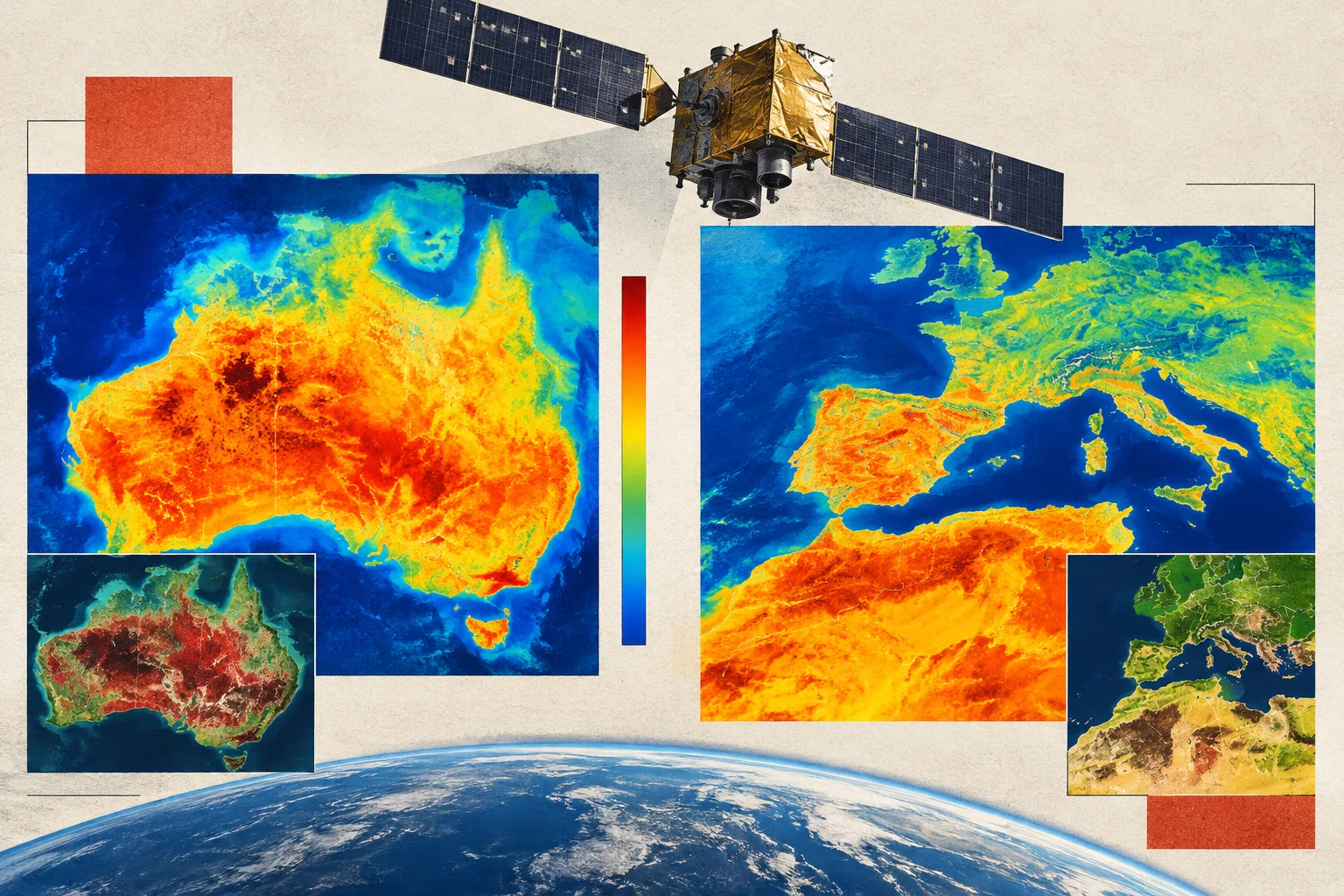
The European Space Agency has released the first thermal images from Sentinel-3C, showing land and sea-surface brightness temperatures over Western Australia and south-western Europe. The images are an early test of the satellite’s Sea and Land Surface Temperature Radiometer, whose infrared channels had recently been switched on.
Sentinel-3C launched on 15 September 2026 as the third satellite in the Copernicus Sentinel-3 mission. ESA says the radiometer is working well before completion of its commissioning. It measures temperatures across nine visible, shortwave-infrared and thermal-infrared bands, and has two additional channels designed to detect and monitor wildfire intensity.
The Western Australia images, captured on 4 November, cover the Kimberley region, including Broome and the Dampier Peninsula. The thermal image indicates brightness temperatures above 40°C across much of the southern land area, while parts of the northern coast are at 35°C or below. The eastern Indian Ocean appears to be around 20°C.
These are brightness temperatures inferred from radiation measured at the top of the atmosphere, not direct readings of the physical temperature at the surface. A separate false-colour image combines visible and near-infrared data: vegetation appears red, while recent fire scars show up as dark brown inland.
Images captured on 2 November show south-western Europe and part of North Africa. ESA reports brightness temperatures in the mid to high 20s in southern Portugal and Spain’s Andalusia region, and above 30°C in parts of Morocco and along Algeria’s northern coast. A false-colour view highlights denser vegetation in green and wildfire burn scars in brown, including areas west of Madrid and near Bordeaux.
The radiometer’s infrared channels can reveal information invisible to the human eye, including features associated with soil moisture, plant health, wildfire damage, minerals and atmospheric gases. ESA says other Sentinel-3C instruments had already returned first images, including the ocean and land colour instrument and radar altimeter.
Sign in to give this article a thumbs up or down.
From the discussion
Private test discussion. Comments are readers’ views and are not yet automatically fact-checked. Editing is available for 60 seconds after posting.
Sign in with a confirmed reader account and choose a username to read comments and participate.
Sorting applies to top-level comments; replies remain oldest first. New comments and likes can change the order. Refresh for the current ranking.
Loading comments…