Sentinel-3C sends back first Earth images and measurements
Sentinel-3C has sent back its first images and height measurements, giving ESA an early check on the satellite’s instruments before it enters routine service.
Review information is loading.
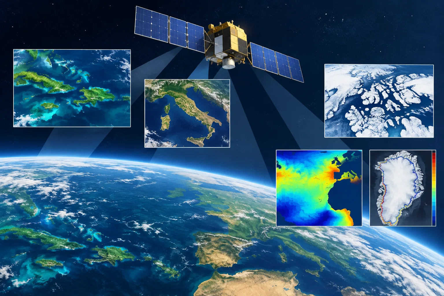
The colour instrument captured part of the Caribbean on 29 September, followed a day later by views of Italy and part of the Canadian Arctic Archipelago. The observations came about two weeks after Sentinel-3C’s launch. [1]
The satellite’s radar altimeter also measured sea-surface height across the Atlantic and Mediterranean. ESA says a comparison with a Copernicus Marine Service sea-level product indicates that the instrument is performing well. Measurements taken over Greenland between 30 September and 4 October closely matched a reference elevation model, according to the agency. [1]
Sentinel-3C is the third satellite in a series designed to monitor the oceans, land, ice and atmosphere. Its first results are a step towards routine service, not the start of it: ESA says commissioning is still under way and expects the work to take another five months. [1]
Sign in to give this article a thumbs up or down.
About this discussion and AI questions
Private test discussion. Comments are readers’ views and are not yet automatically fact-checked. Editing is available for 60 seconds after posting.
Sign in with a confirmed reader account and choose a username to read comments and participate.
Sorting applies to top-level comments; replies remain oldest first. New comments and likes can change the order. Refresh for the current ranking.
Loading comments…