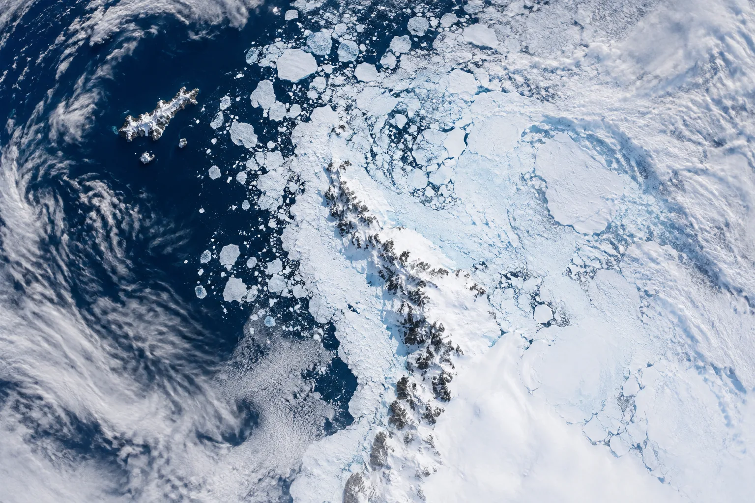
Satellite image shows winter sea ice around West Antarctica
A new European Space Agency image captured by Copernicus Sentinel-3 shows winter sea ice around the Antarctic Peninsula, two weeks after the season’s likely annual peak.
Review information is loading.
The European Space Agency has released a satellite image of West Antarctica showing sea ice at its annual winter maximum, extending to the tip of the Antarctic Peninsula. Copernicus Sentinel-3 captured the image on 30 September 2026. [1]
The view covers an area about 1,200km by 1,700km. Elephant Island, around 50km long, stands out against the open ocean on the left; sea ice and cloud cover fill much of the scene, including the Weddell Sea east of the peninsula.
The US National Snow and Ice Data Center estimates that Antarctic sea ice most likely reached its winter peak on 14 September. The ESA image was taken two weeks later and shows ice around the peninsula alongside floes of different sizes and patterns. [1]
Sign in to give this article a thumbs up or down.
About this discussion and AI questions
Private test discussion. Comments are readers’ views and are not yet automatically fact-checked. Editing is available for 60 seconds after posting.
Sign in with a confirmed reader account and choose a username to read comments and participate.
Sorting applies to top-level comments; replies remain oldest first. New comments and likes can change the order. Refresh for the current ranking.
Loading comments…