News Made Clear · Loading…
Category
Regions
Continents
Early polar vortex disruption does not yet point to UK snow
Loading statistics…
An unusually early weakening of the polar vortex could shift weather patterns, but forecasters say it is too soon to know whether it will bring UK snow. The possible risk of continued dry weather also matters as much of England and Wales remains in drought.
Review information is loading.
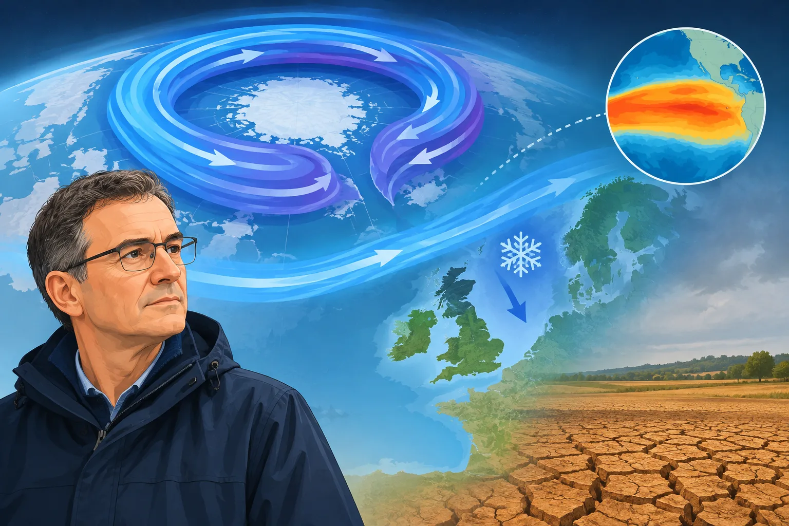
The polar vortex high above the Arctic has weakened unusually early in November, raising the possibility of colder weather in Europe. But forecasters say the change does not mean snow is on the way for the UK, and its effects remain uncertain.
The vortex is a ring of strong winds in the stratosphere that helps keep the coldest air near the North Pole. It has recently stretched and briefly split into two circulations. If its winds reverse direction, the event would be classified as a major sudden stratospheric warming.
Jeff Knight, the Met Office’s lead climate scientist, told the BBC the event appeared to be the earliest on record in 75 years of observations. The previous earliest major events were recorded on 28 November, in 1969 and 2025.
A disrupted vortex can alter the jet stream and increase the chance of colder air reaching the UK, particularly from the north or east. But the Arctic is not yet as cold as it becomes later in winter, which could limit the impact. Meteorologists also have few comparable events from this early in the season to guide forecasts.
The Met Office’s long-range outlook had pointed to a stormier start to winter and a colder spell towards its end. The early vortex disruption was not widely expected, and experts say it is too soon to know whether it will change that outlook. A previous BBC Weather report explained why El Niño offers no clear answer on UK snow this winter.
There is also uncertainty over how the event relates to El Niño, the warming of surface waters in the tropical Pacific. Knight said it could have “helped load the dice” for the disruption, but added that there was not enough evidence because the event was so rare. A link between El Niño and an unusually early weakening of the vortex remains unclear.
The effects may matter beyond snow. With much of England and Wales still in drought, University of Reading meteorologist Andrew Perez-Charlton said the prospect of a drier pattern and continued lack of rain would be concerning. For now, forecasters cannot say whether the vortex changes will bring that pattern—or a cold spell—to the UK.
How do we know?
1 listed sources · explore evidence, limitations and provenance.
Sign in to give this article a thumbs up or down.
About this discussion and AI questions
Private test discussion. Comments are readers’ views and are not yet automatically fact-checked. Editing is available for 60 seconds after posting.
Sign in with a confirmed reader account and choose a username to read comments and participate.
Sorting applies to top-level comments; replies remain oldest first. New comments and likes can change the order. Refresh for the current ranking.
Loading comments…